
The Guide - contents
The Storyus GuideReading
For everyone - whatever your role
Arriving Your front page Who sees what Ways to read Views & bookmarksCreating
For members, admins and owners
Getting started Photos & media Journeys Streams Moments Postcards Video Essays Reflections Albums Timelines Magazines Publishing & reachJunior Mode
For guardians and their young storytellers
The idea Being a guardian What your child seesCreating · chapter 3 of 13
Journeys
A walk, ride or roadtrip told on a map from geotagged photos.
The Journey is the form that feels like a small miracle the first time: give it a photo tag, and it builds the walk - every photo carrying that tag becomes a numbered stop, ordered by when it was taken and placed on a real map by its GPS. Readers then travel the route as they scroll.
Photos → stops
- Tag the photos first. Upload the day's photos with one tag (chalk-cliffs-walk) - most phone photos already carry the time and place invisibly, and Storyus reads both.
- Create → Journey, type the tag, Build stops. The map draws itself: numbered pins, in walking order.
- Correct what the camera got wrong. Drag any pin to fix a location; a photo with no GPS at all (an old scan, a screenshot) gets placed by hand - arm it, tap the map, done. Hand-set pins show green.
- Let the route snap to reality. Travel between stops is guessed from distance and pace, and the route snaps itself onto real paths - UK walks follow the actual footpath network. Change something and the button turns amber; one click re-snaps. (Water legs - the SUP, the canoe - stay honest straight lines.)
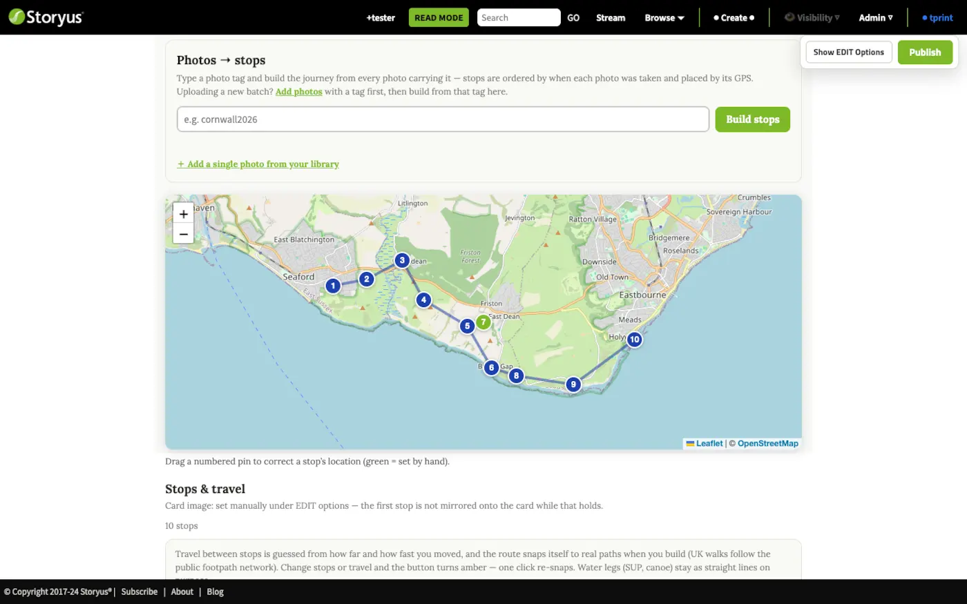
Below the map, each stop is a card: caption it, reorder with the arrows if the telling wants a different order than the clock kept, and set the travel mode where the guess was wrong.
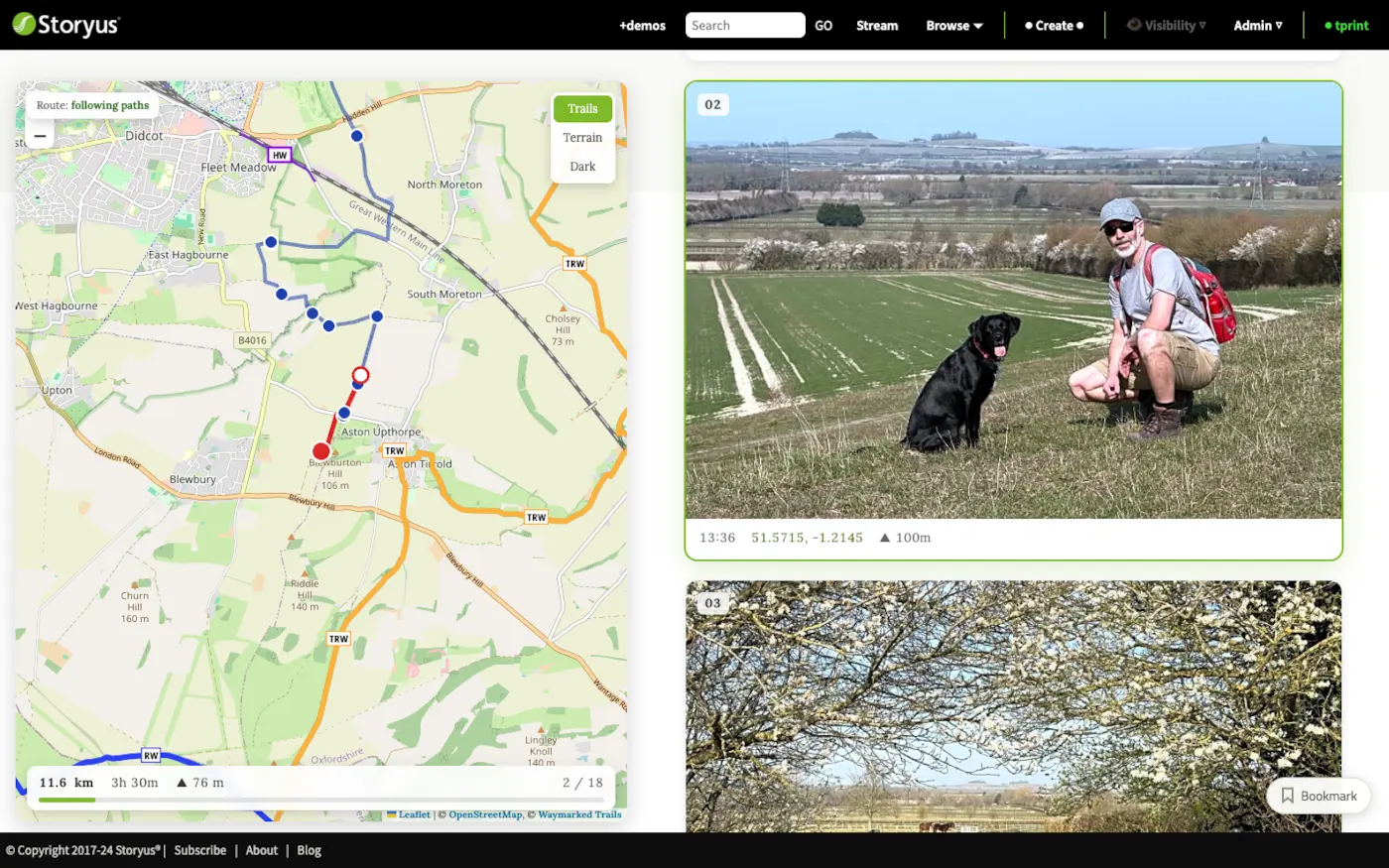
See a finished one
Oxfordshire, hillfort to hillfort - scroll it to the end and watch the map walk with you. That's the reader's side of everything above.
Still stuck after the guide? Help & ideas - write to us, and a person reads every message.